


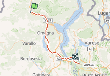


4.5 km | 12.7 km-effort


User


FREE GPS app for hiking
 SityTrail
IGN / Geographical institutes
SityTrail World
The world is yours!
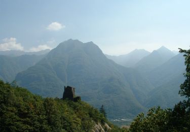
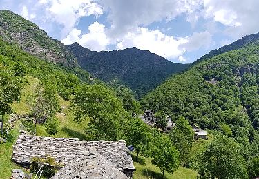
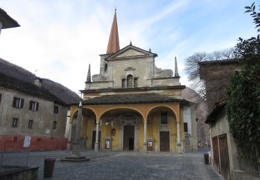
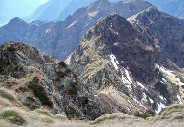
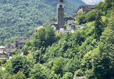
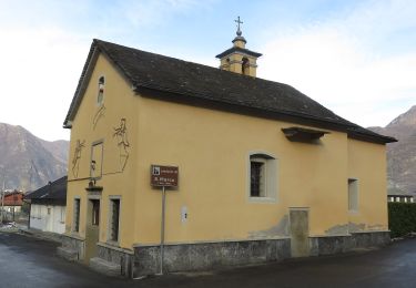
Trail Bicycle tourism of 73 km to be discovered at Piemont, Verbano-Cusio-Ossola, Pieve Vergonte. This trail is proposed by m.devil.
Projet
On foot
On foot
On foot
On foot
On foot
On foot
On foot
Walking
On foot